Do we use satellite tracking? Do we just bump into them randomly on the road? Or perhaps we ask the dolphins to report to the harbor every morning for a "roll call" to count their numbers?
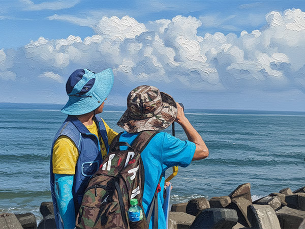
In reality, most major cetacean (whale and dolphin) surveys today still rely on boats. Researchers define a specific survey area based on the habits of the species they want to study. They then map out survey routes—known as transects—within that area. By strictly following these pre-determined paths, they ensure the entire region is covered systematically, without missing any sections.
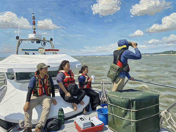
However, the ocean is vast. For a successful sighting record to occur, three things must happen simultaneously:
- A whale or dolphin must surface to breathe.
- The research vessel must be passing nearby at that exact moment.
- A researcher must spot that fleeting 1–2 second glimpse of a breath amidst the endless waves.
Every single data point requires a perfect alignment of factors. To achieve this, researchers must remain fully focused throughout the survey, intently scanning the sea surface. They are constantly searching for shapes that might appear at any time or place—or perhaps not appear at all. It is a tremendous test of mental endurance and patience.
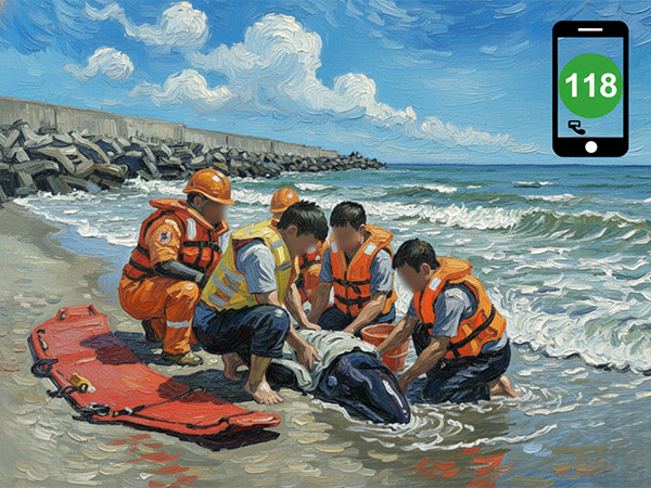
Due to the unpredictable nature of wild animals, every single sighting record is incredibly valuable. These records are hard-earned by numerous researchers working tirelessly under the scorching sun. Let’s give a round of applause for these dedicated individuals who quietly contribute so much to scientific research!